Tourist Information Schwangau
- www.schwangau.de
- Aktivitäten
- Schwangau im Winter
- Ski, Langlauf, Winterwandern
Culture trail Schutzengelweg (mountain tour)
Wanderung
· Allgäu
geöffnet

Verantwortlich für diesen Inhalt
Tourist Information Schwangau Verifizierter Partner Explorers Choice
Tourist Information Schwangau Verifizierter Partner Explorers Choice
Carpark Tegelbergbahn - Rohrkopfhütte - Tegelberg-mountain station - Rohrkopfhütte - Carpark Tegelbergbahn
geöffnet
mittel
Strecke 9,3 km
4:00 h
895 hm
894 hm
1.712 hm
818 hm
Nice tour of the Tegelberg with beautiful views. Refreshments in the mountain huts Rohrkopfhütte or Tegelberghaus.

Autor
Tourist Information Schwangau
Aktualisierung: 29.04.2024
Schwierigkeit
mittel
Kondition
Erlebnis
Landschaft
Höchster Punkt
1.712 m
Tiefster Punkt
818 m
Beste Jahreszeit
Jan
Feb
Mär
Apr
Mai
Jun
Jul
Aug
Sep
Okt
Nov
Dez
Wegearten
Asphalt
4,5 km
Schotterweg
3,3 km
Naturweg
0,1 km
Pfad
1,3 km
Einkehrmöglichkeiten
RohrkopfhütteTegelbergbahn
Weitere Infos und Links
Rohrkopfhütte: https://www.hotelruebezahl.de/de/rohrkopfhuette-berghuette-allgaeu/
Tegelberghaus: http://neu.tegelberghaus.de/
Tegelbergbahn: https://www.tegelbergbahn.de/startseite.html
More restaurants: www.schwangau.de/tisch
Start
Tegelbergbahn-Talstation
Koordinaten:
DD
47.569434, 10.756158
GMS
47°34'10.0"N 10°45'22.2"E
UTM
32T 632086 5269940
w3w
///knopf.welten.erwarb
Ziel
Tegelbergbahn-Talstation
Wegbeschreibung
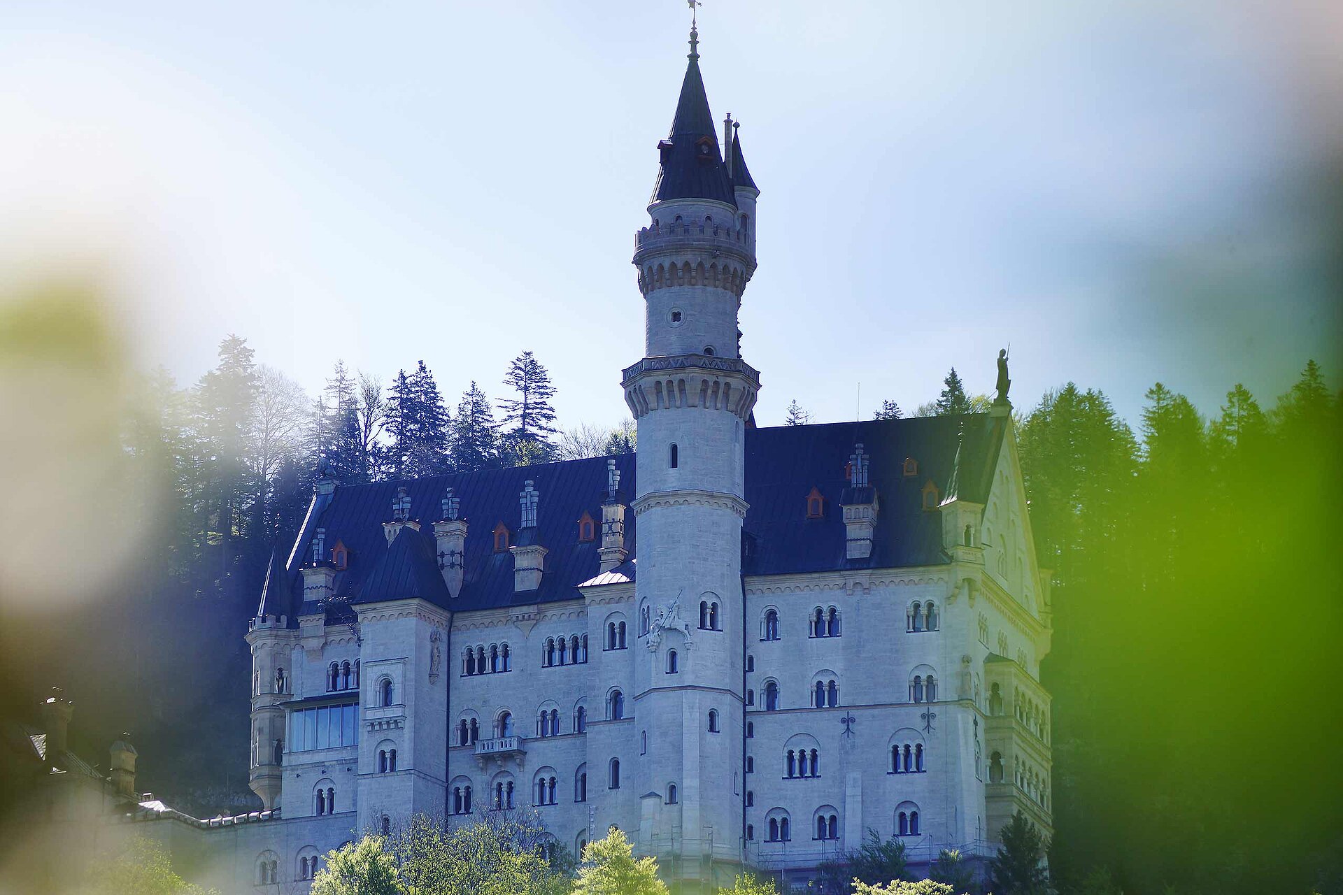
The culture trail Schutzengelweg is an alpine path to the top station of Tegelberg Cable Car. Follow the signs 'Schutzengelweg' from the bottom of the station. Once you pass a turnstile, you will soon reach the turning Rohrkopfhütte-Tegelberg. Once again, the beautiful views surprise you along the way - at the beginning on the Forggen and Bannwald lakes, with the increasing altitudes on the castles, the Allgäuer and Tannheimer mountains. After about 1.5 hrs hike, the Rohrkopfhütte invites you to take your first break on the sunny terrace. After which, with another forest passage, you will reach the world of rugged high mountains. The Tegelberghaus or the Panorama restaurant offers delightful culinary and a magnificent view. Take a comfortable ride with the cable car back to the valley.
Öffentliche Verkehrsmittel
Busstop "Tegelbergbahn"Anfahrt
You have to look to the signs "Tegelbergbahn"Parken
Carparks "Tegelbergbahn"Koordinaten
DD
47.569434, 10.756158
GMS
47°34'10.0"N 10°45'22.2"E
UTM
32T 632086 5269940
w3w
///knopf.welten.erwarb
Anreise mit der Bahn, dem Auto, zu Fuß oder mit dem Rad
Ausrüstung
sturdy footwear, drinks, weatherproof clothingStatus
geöffnet
Schwierigkeit
mittel
Strecke
9,3 km
Dauer
4:00 h
Aufstieg
895 hm
Abstieg
894 hm
Höchster Punkt
1.712 m
Tiefster Punkt
818 m
Statistiken
Karten und Wege
- 4 Wegpunkte
- 4 Wegpunkte
-
Tour
-
Neigung
km
Strecke
: h
Dauer
hm
Aufstieg
hm
Abstieg
m
Höchster Punkt
m
Tiefster Punkt


