- www.schwangau.de
- Aktivitäten
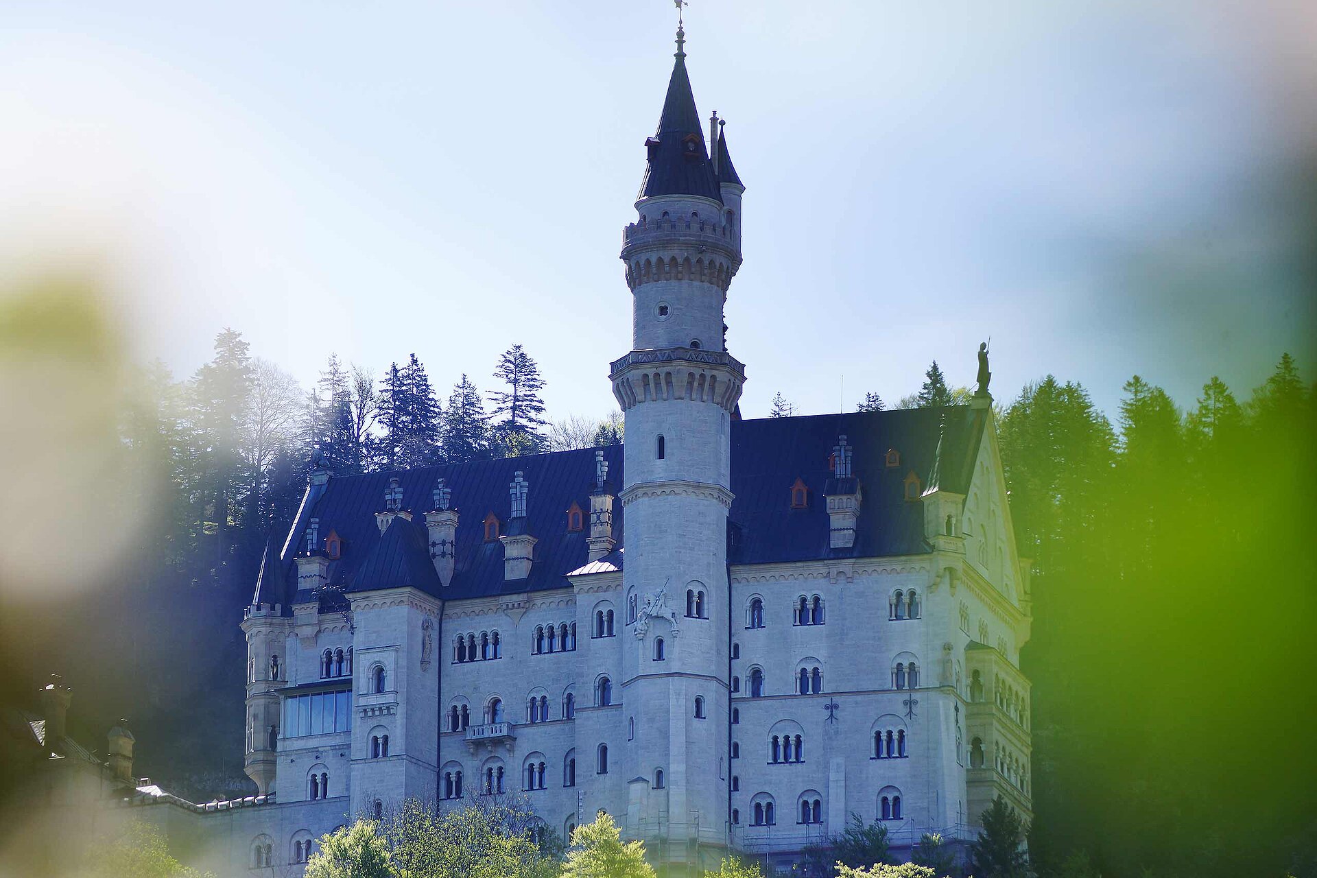
- Schwangau im Winter
- Ski, Langlauf, Winterwandern
Around the Forggensee

Tourist Information Schwangau Verifizierter Partner Explorers Choice
-
 Radltour - HegratsriedseeFoto: Stephanie Müller, Tourist Information Schwangau

Wegearten
Weitere Infos und Links
Bike rental: https://www.schwangau.de/aktivitaeten/radfahren-und-mehr/
Start
Ziel
Wegbeschreibung
Begins at the Schlossbrauhaus and continue to the district of Brunnen. It's levelled ground all the way, after the Karbrücke bridge a small gradient begins. The meadows are full of flowers as you arrive at the Hegratsrieder See, one of the warmest lakes around Schwangau and Buching. Now you reach the hamlet of Kiebis and pass the Illasberg Lake you speed towards the next ascent. At the top, opens up an awesome view of the Alpine foothills. After a short descent, you can visit the information center in the power station, which offers an interesting insights of the construction and operation of this remarkable plant. When you leave, take the right to the next mountain. Maybe you would like to take a break and lean the bike against the Roman guards before hopefully mastering the last mountain stage.
Afterwards, cycle on the path towards Roßhaupten. Before you reach the village, turn left towards Füssen. If you are exhausted, you can easily take the Forggensee boat ride up from 1st June and take a more relaxed approach to the way back. Through the villages of Dietringen and Osterreinen, you are already on the way back to Füssen. However, do not miss a detour to the Füssen Festival Theatre. Then it goes leisurely along the Lechweg to the junction to Schwangau. Before you proceed to the left, check out Füssen, the beautiful historic medieval town, worth a visit! Now continue through the so-called Überlandwerk, the dam, and feel the pure power of the water. Finally, continue the journey through Horn to Waltenhofen and back to Schwangau.
Anfahrt
You have to drive to the Schlossbrauhaus SchwangauParken
carpark near the Schlossbrauhaus SchwangauKoordinaten
Statistiken
- 9 Wegpunkte
- 9 Wegpunkte
-
Tour
-
Neigung