- www.schwangau.de
- Aktivitäten
- Schwangau im Winter
- Ski, Langlauf, Winterwandern
Nature trail Ahornreitweg (mountain tour)

Tourist Information Schwangau Verifizierter Partner Explorers Choice
-
 Foto: Jana Lebetz, Tourist Information Schwangau
Carpark Tegelbergbahn - ascent with the cable car - Bleckenau - Marien Bridge - Hohenschwangau - Reith Alpe - carpark Tegelbergbahn
Nice hiking tour on royal riding paths.

Wegearten
Einkehrmöglichkeiten
Berggasthaus BleckenauReith-Alpe
Start
Wegbeschreibung
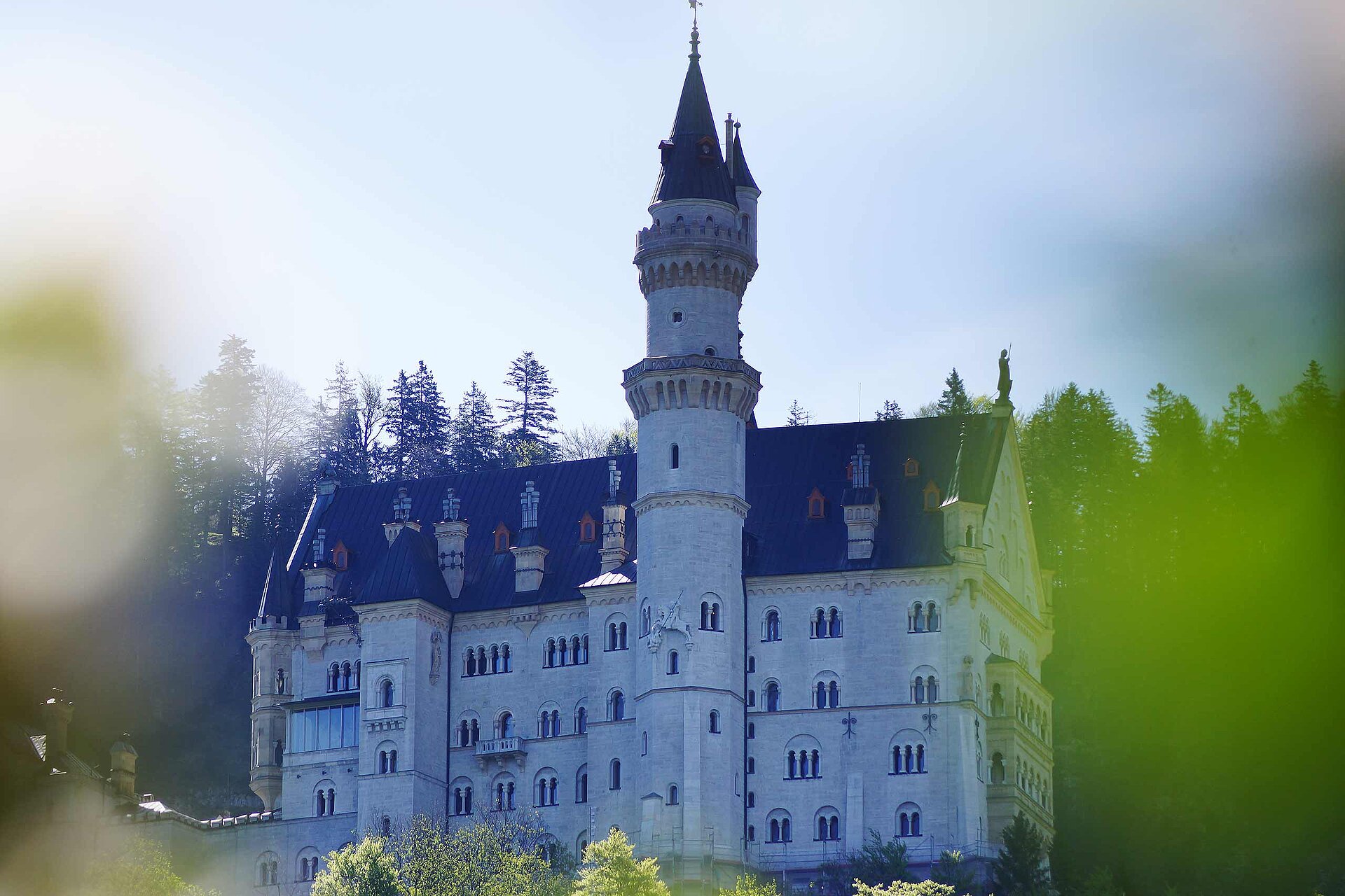
After the ascent with the Tegelberg Cable Car to the top station, the nature trail Ahornreitweg begins on an alpine path with intermittent views of the valley in the midst of the magnificent mountain world to the Branderfleck. From there, the actual bridle path leads you comfortably in a gently sloping hairpin bends to the end of the nature trail at the Bleckenau forest road. About 10 minutes short ascent, you can rest and strengthen yourself at mountain inn Bleckenau. Either you return via Neuschwanstein Castle to the valley Tegelberg cable car station or simply take the inn bus. The nature trail Ahornreitweg forms a unit with Schutzengelweg which leads from the Tegelberg down to the forest road Bleckenau. King Maximilian II had the grounds laid out around 1850 so as to enable his entourage to reach both the royal hunting grounds and hunting lodge Tegelberg comfortably on horsebacks.
Öffentliche Verkehrsmittel
Busstop "Tegelbergbahn"Anfahrt
You have to look to the signs "Tegelbergbahn"Parken
Carpark near the cable car TegelbergbahnKoordinaten
Statistiken
- 7 Wegpunkte
- 7 Wegpunkte
-
Tour
-
Neigung